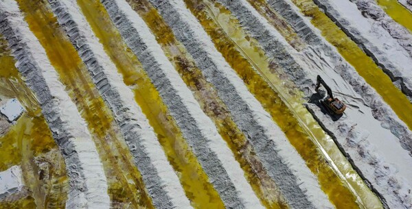
The boom of real estate subdivisions has transformed the rural landscape of La Araucanía in the last decade, dividing at least 15,027 hectares into numerous real estate projects, significantly reducing the available agricultural land, according to data from Minvu cited in a 2024 report.
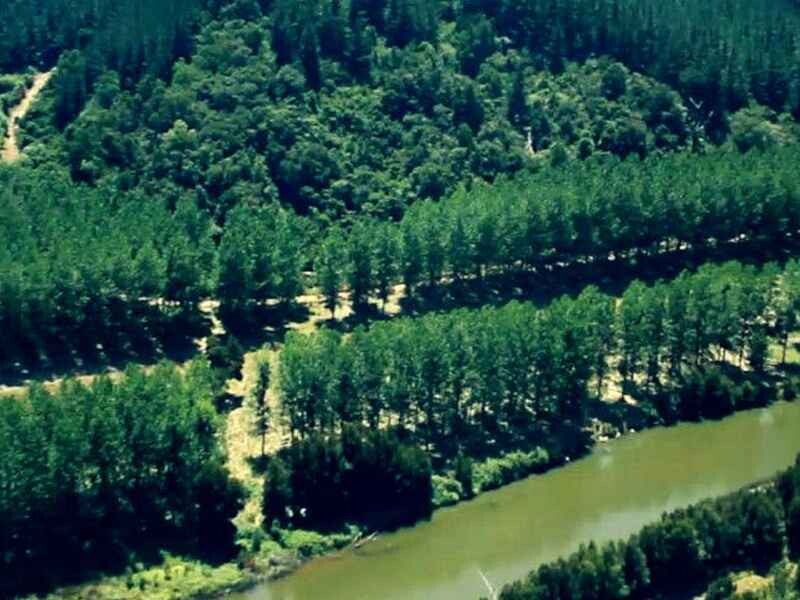
Various studies have highlighted the negative impacts of this trend. For example, a report by Nahuelhual and collaborators from 2012 indicates that forest plantations in the Quepe River basin increased by 97.1% between 1994 and 2007, while agricultural areas decreased. The forestry model has also been associated with reduced water flow in the basins, soil erosion, and an increase in poverty in the communities where it operates.
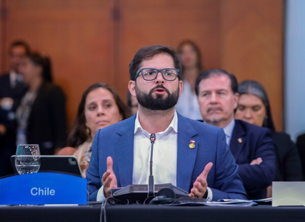
Chilean deputy Andrés Jouannet has blamed "bad public policies" and Conadi for the decrease in the cultivated wheat area in La Araucanía. For their part, experts suggest that the real estate subdivisions, along with the expansion of the forestry industry and an outdated agricultural model, are key factors in this issue.
The granting of land to indigenous communities is highlighted as an opportunity to diversify and strengthen agricultural production, as long as adequate technical and financial support is provided. However, while Jouannet points to Conadi as responsible, the data shows a more complex picture where the forestry industry has grown considerably in La Araucanía in recent decades.
The resistance of large farmers to shift towards more sustainable practices such as regenerative agriculture and their focus on intensive monocultures has contributed to the deterioration of cultivable land in the region. In this context, a comprehensive analysis that considers both real estate expansion and the forestry industry is necessary to effectively address the agricultural and environmental challenges in La Araucanía.